Lat: 14 38.846′ S
Lon: 145 27.253′ E
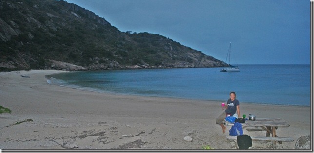
I guess Lizard Island isn’t technically part of the GBR, but it’s here in the middle of it and our beautiful mooring spot in Mermaid Bay is surrounded by coral and marine life. Last night’s dinner was a bit of an adventure. There are actually two picnic tables on the beach here – one in the middle of the beach and one at the left side of the beach at the base of a rocky cliff. I set dinner up as a picnic and we paddled ashore just before sunset. Right after taking pictures of our beautiful, private dinner on the beach and pouring a couple glasses of wine to go with the pasta and garlic bread it started raining. We’re used to this sort of thing, so into the waterproof bag went the camera, etc. and we headed for the dinghy. Right as we got to the dinghy the rain stopped and we decided to give it a second try. We were able to finish dinner and enjoy a nice evening with only light sprinkles. It’s been rainy and windy much of the time here in Australia, but I guess the good side is that in addition to having to work during the week, the weather has kept a lot of the locals ashore and we’ve had some great spots to ourselves. Nobody else has even tried to pick up one of the public moorings we’ve been using.
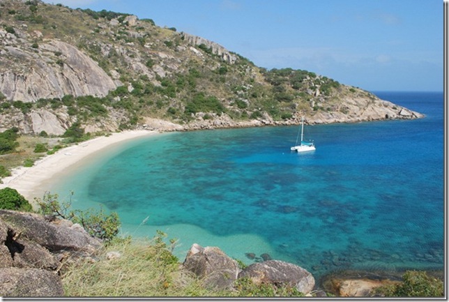
This morning we made plans to hike up both of the ridges on either side of the bay. The east ridge offered a good chance for pics of the boat with the sun behind us so we headed that way first. We changed from bare feet to sock and shoes (there was no trail so we consented to give the flip-flops the day off) on some rocks at the edge of the water, and I promptly slipped off of the first rock I stepped on and got both shoes soaked. Great start. The climb up the first ridge was slow and a little steep, but not too difficult. I kept thinking of all the bad things in Australia that you could suddenly come across, but hoped that an offshore island is a bit safer. We stayed on the large rocks as much as possible, but had to walk up through the grass at times as well. The grass wasn’t tall, but it was so thick that you couldn’t see what was underneath; only after stepping down on it did you learn whether it was a rock, a hole, or loose hillside. A slow 15 minutes or so of climbing put us at the top of the ridge where we could see a group of tourists being dropped off on the beach below. They all donned wetsuits and were obviously enjoying the snorkeling. The view down to the small bay was beautiful enough to make the Australia month of next year’s calendar.
We’re still in the midst of places that Captain Cook visited, including the nearby mainland town of Cooktown. His ship, the Endeavour, wandered into the maze of reef that make up the GBR and was nearly lost. After running aground on on a reef (remember there were no charts to reference), they were lucky enough to work their way off and limp up the newly christened Endeavour River to a spot that became Cooktown. When they were ready to leave, Cook sailed to Lizard Island and climbed the peak here to sight out a pass through the GBR and into the open water of the Coral Sea.
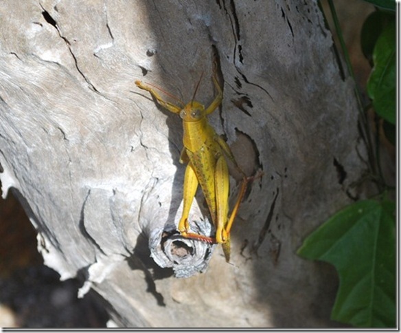
We tramped back down the ridgeline, along the rocky waterline, across the beach, and over to the western ridge. We were really wanting some exercise after several days aboard, but we were also hoping to get a view of the other side of the island. After climbing over the large rocks along the waterline, we rounded the point and realized that seeing the other side of the island was going to be more work than we’d thought, so we turned back after taking some pics of a really colorful bird that looked a bit like a kingfisher or woodpecker. All along the walk we kept startling really big grasshoppers. Anyone that’s ever been around large grasshoppers knows they can jump and fly, but don’t really seem to navigate all that well. Once or twice they actually ended up flying into us while presumably trying to get away.
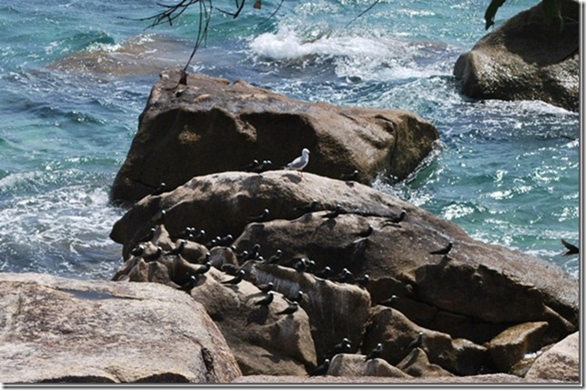 Seabirds taking a break from fishing
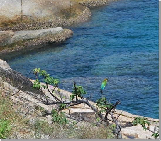 One of the more colorful birds we’ve seen
Back on the beach we had a short chat with the tourist family, which happened to be Americans from Annapolis, and headed back to the boat for lunch and a pre-dive nap. The diving and snorkeling was supposed to be great here, but whether it’s my general dislike for being wet, diving fatigue, or just plain laziness, I didn’t really feel up for it. Luckily Lauren isn’t one to miss a dive opportunity so we eventually suited up and started swimming over to the reef that juts out off of the rocky eastern point of the bay. The plan was to swim around the reef over to the open water side where we expected to find a wall, and I hoped to find a healthy collection of fish (quite a few birds were fishing this region of the channel when we came in). The dive started out completely unspectacular – small fish we were familiar with, lots of dead and brown coral. Just as we rounded the corner of the reef, though, things started to pick up. We saw a small stingray, a 4-foot white-tip shark and a really big angelfish. The coral became more colorful, plentiful, and much larger. We came across a sort of sandy road that seemed to offer a shortcut to the open water side of the reef, so we followed it and before long came across a 5-foot white-tip shark. This one was sleeping on the bottom and didn’t even budge as we got as close as we felt comfortable (25 feet or so) to take a couple pictures. Not much farther along, a narrow chasm offered a look into deep water beyond. I stuck my head in and the current swept me back, but I could see some amazingly colorful and large fish, so I motioned for Lauren to lead the way since she had the camera. Once we made it through we were in a different world. The fish that were waiting for us are in our dive atlas as “Indian Ocean Sweetlips” and were nearly 2 feet long. I’d been flipping through the book today, seen the picture, and said to myself, “Well, there’s one colorful fish I don’t think we’ve ever seen,” and like magic here they were. We turned the corner and were amazed by the collection of large fish, including a large potato cod, a really big Napolean/Maori/Humphead Wrasse (you’ve gotta google a pic of one to really appreciate how large and interesting-looking they are) and several large schools of big fish. It was like swimming through a tropical fish tank with a gorgeous, vibrant wall of coral to our left. We ended up spending 50 minutes underwater; what started as a ho-hum dive had turned into one of our favorites. This time, the underwater camera lens didn’t fog up, so Lauren’s pics turned out really well, including the video of the “Indian Ocean Sweetlips” (someday we’ll be back to the land of internet again and you’ll see what we’re talking about).
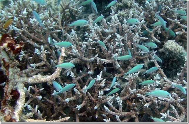 Small colorful fish in the staghorn coral
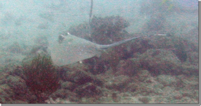 I just can’t see a stingray anymore without having “Steve Irwin” flash into my head
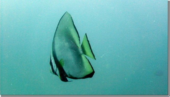
Large angelfish
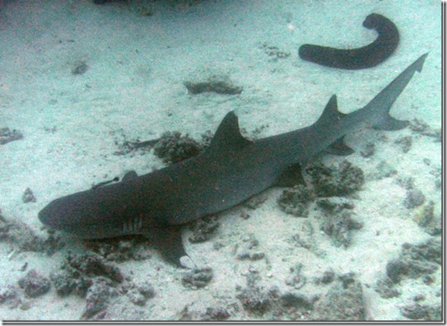 Dozing 5-foot shark and sea cucumber
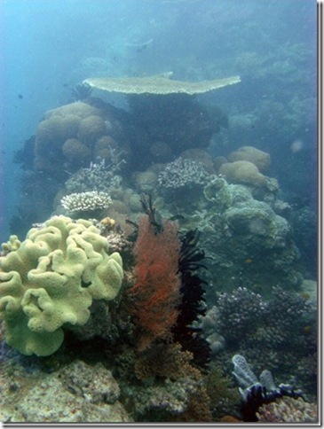 Beautiful coral near the chasm
 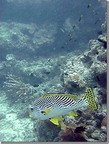 Sweetlips
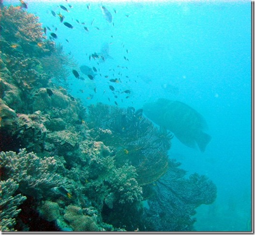 Outer reef wall with large Napolean wrasse
I also got another opportunity to practice navigating underwater with the compass. So far it’s worked reasonably well. I generally start out with some bearings above water and a general idea of what the underwater topology should be like (deep water to the east, etc.), then keep track of underwater landmarks and our compass heading during the dive. We usually don’t have to factor drift into the navigation, but the strength and direction of the current is a factor in terms of the route we take and how much air we save for the return trip. The fun starts when we get to around 1500 psi (out of a beginning 3000 or so) and want to get back to where we dropped down with more than 500 psi. Just like any hike, the journey back seems to go much faster as long as it’s not into the current. We’re also lucky that Lauren uses less air than anyone I’ve ever met, so I usually just have to manage my own air. It’s going to be interesting when we actually do a dive with a divemaster and commercial dive operation again and we don’t have to worry about all that stuff.
When we got back to the boat, I used the air I had left to change the sacrificial zinc on the starboard shaft, which had come loose. The zinc keeps the stray electrical current in the water from eating away the bronze prop and stainless shaft. The zinc is shaped short of like a symmetric egg with a 1” hole through middle that is then cut in half. You fit the halves over the 1” prop shaft and tighten it down with a couple of bolts. Zincs are usually $30 in NZ, but we got some from a foundry for only $10. The funny part is that zinc is zinc, so it seemed like a good deal, but the $30 ones have several features that keep them attached better – they have a couple of embedded copper balls to make good contact with the shaft, captive nuts and retaining washers for the bolts so you don’t drop either of them underwater, and lock washers so that the bolts stay tight with all the shaft vibration and rotation. I’m not sure that a couple extra washers are worth $20, but it’s much easier to hold two captive halves and an allen wrench down there instead of dealing with the wrench, two zinc halves, and two loose bolts with nuts. Anyway, for the want of a couple of lock washers the $10 zinc came loose so we now have a $30 zinc.
Even though only 5% of the GBR is completely protected, it really does seem to make a big difference in the quantity, size, and diver-friendly nature of the marine life. Each part of the reef is zoned (or unzoned) for a wide variety of uses ranging from all activities allowed to marine reserves where no sort of fishing or spearfishing is allowed. Maps of the GBR zoning for the area are free and are mandatory aboard all vessels in the GBR area.
We decided to stay put tonight and get one more night of good sleep before heading farther north toward Cape York tomorrow. Being near land at night does give us a chance to hear the sounds of some of the Australian bird life. There’s one noise that we’re assuming is a bird that’s unlike anything we’ve ever heard. I won’t even try to describe it, but it’s odd enough that you could easily imagine it being some sort of strange owl or mammal.


